
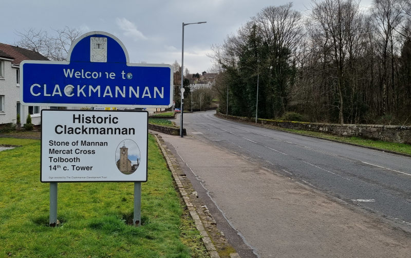
The former county town of Clackmannan lies to the east of Clackmannanshire's current county town, Alloa. Clackmannan, perhaps meaning Stone of Manau or Stone of Mannan, is a village and civil parish set in the Central Lowlands of Scotland. Situated within the Forth Valley, Clackmannan had a population in 2016 of 3240. Due to house building on the northern edge of the village since 2016, this will likely have increased somewhat.
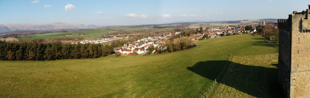
Looking East from King's Seat Hill, showing Back Wood, Devonway, the northern end of Clackmannan and Clackmannan Tower
The Stone of Mannan is a pagan monument that is thought to have originally stood on an island in the River Forth. It can be seen in the town square beside the Tolbooth, which dates from around 1592 and was built for the local sheriff of the time. All that remains of the tolbooth is the belfry tower. Nearby is the Mercat Cross, a solitary pillar bearing the arms of the Bruce family.
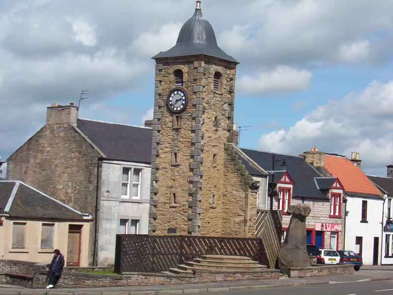
Tolbooth and Mannan stone, 2006 - pic. Angelfire website
The early growth of the town was due in large part to Clackmannan's port which lay on the banks of the tidal stretch of the Black Devon river at its confluence with the River Forth. The silting of the port allowed Alloa's dock to take up the slack and this led to an increase in the population of nearby Alloa which eventually saw that town replace Clackmannan as the administrative county town of Clackmannanshire in 1822.
During the 12th century, the area formed part of the lands controlled by the abbots of Cambuskenneth. Later it became associated with the Bruce family, who during the 14th century, built a strategic tower-house known at the time as the Castle of Clackmannan (now commonly known as Clackmannan Tower) and in the 16th Century built a mansion alongside the tower. The mansion was demolished after the Clackmannan branch of the Bruces died out in 1791, although its stones may have been recycled to build parts of the new parish church in 1815, and repair other nearby buildings. The tower still stands above the town, entry inside is limited to special guided visits, currently organised by Historic Environment Scotland. The population of Clackmannan in 1841 was 1,077.
Devonway - on the other side of the railway tracks from Helensfield, Devonway is a small housing estate which is separated from the rest of the village by the Black Devon and its flood banks. there are two bridges connecting to Devonway - Mary's Bridge on the B910 road - which did for some years also have a pedestrian path, and a pedestrian bridge which is further upstream.
Riccarton was once its own small hamlet, located to the north of Clackmannan. This has now become an area of Clackmannan. Westfield, Speedwell, The Pottery, The Green and The Square are also areas of historic note, all since demolished.
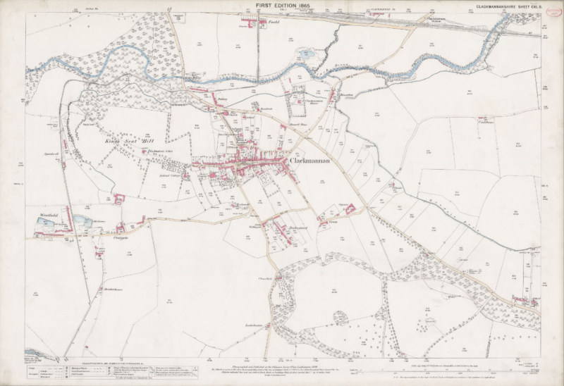
This OS 1865 map can be viewed in greater detail here shows Riccarton (NW)
The war memorial at Kersegreen was designed by Sir Robert Lorimer in 1919.
References:
maps.nls.uk
Angelfire.com/sc3/tullibody
Historic Environment Scotland (HES)
New Statistical Account of Scotland - Clackmannan Parish
Clacks.gov.uk