
Tullibody is a large village in Clackmannanshire. It lies north of the River Forth near to the foot of the Ochil Hills within the Forth Valley. The village is 1.8 miles south-west of Alva, 1.8 miles north-west of Alloa and 4.0 miles east-northeast of Stirling. The village is the second-largest population centre in Clackmannanshire, after Alloa, with the 2012 figures quoted at approximately 8,710, or 9,530 residents when including the southern neighbouring village of Cambus.
There are remains of human activity in the Tullibody area from Mesolithic times. On Braehead Golf Course, the green keepers found a midden containing shell remains of mussels, scallops and cockles dating back to 4000 BC. Known as The Braehead shell midden it is one of the few found on the north side of the Forth. The Haer Stane, now part of Tullibody War Memorial, is said to have formed part of a circle of standing stones which once stood nearby.
It is thought that the church in Tullibody dates from the end of the 4th century and that St. Serf ministered to the church in the 5th century on his journeys to Alva.
Folklore states that Kenneth MacAlpin, King of Scots, amassed his army on Baingle Brae before he fought the Picts in a decisive battle near Cambuskenneth. He is reported to have given Tullibody its name, calling it "Tirly-bothy" meaning oath of the croft. Certainly there was a standing stone on the main road to Stirling commemorating the battle until the early 1900's when it is then reported to have been demolished to make ready for road upgrading.
David I of Scotland was responsible for Tullibody's claim to fame, when in 1149 he granted the lands and fishing rights to Cambuskenneth Abbey. It was then that the Auld Kirk was erected, where it still stands today.
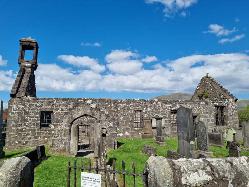
Tullibody Auld Kirk - April 2022
Hugh de Roxburgh was the rector of Tullibody, Chancellor of Scotland and Bishop of Glasgow in the late 12th century. A 19th century map shows the church with the Priest's Well and the Maiden Stone at the graveyard. The newest stones in this graveyard date to the early 20th century, though most dated stones are from the 18th and 19th centuries.
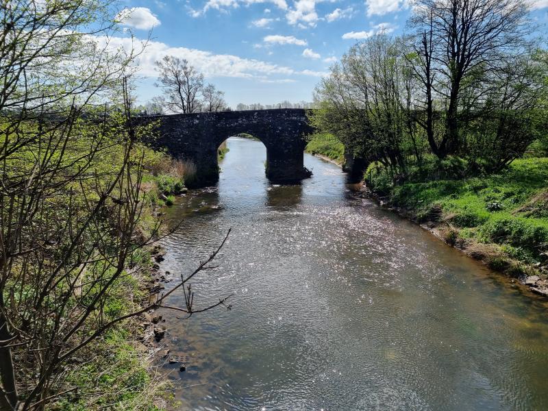
In January 1560, Sir William Kirkcaldy of Grange demolished part of the old Tullibody bridge to delay French troops travelling to Stirling Castle. The French commander Henri Cleutin, known as General D'Oysel, ordered his troops to take down the roof of the Auld Kirk to span the damage to the bridge. The bridge has since been repaired and is currently part of the cycleway to Stirling.
 |
 |
In 1645, the Earl of Montrose, on the night before the Battle of Kilsyth, encamped his forces in the woods of Tullibody. A daggered footnote in the Old Statistical Accounts suggests that Montrose was pursued by the Marquis of Lorn who probably camped at the spot east of the village now known as Lornshill.
One of the earliest maps of the area was made by surveyor and cartographer John Adair around 1681.
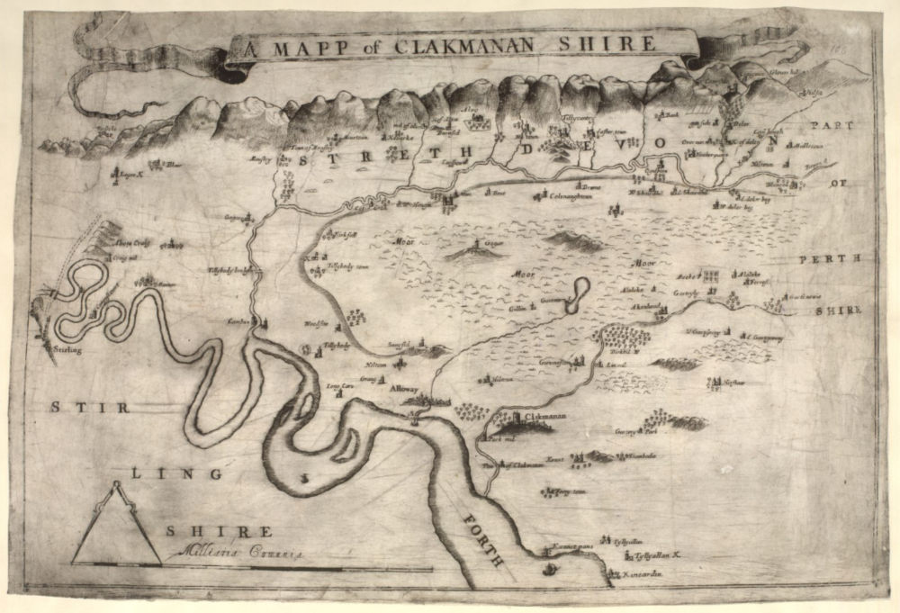
John Adair Map of Clackmannanshire - National Library of Scotland
In 1745 Stirling's Secession preacher Ebenezer Erskine left Stirling which was under the control of the Jacobite army and preached to his people in the wood at Tullibody.
 |
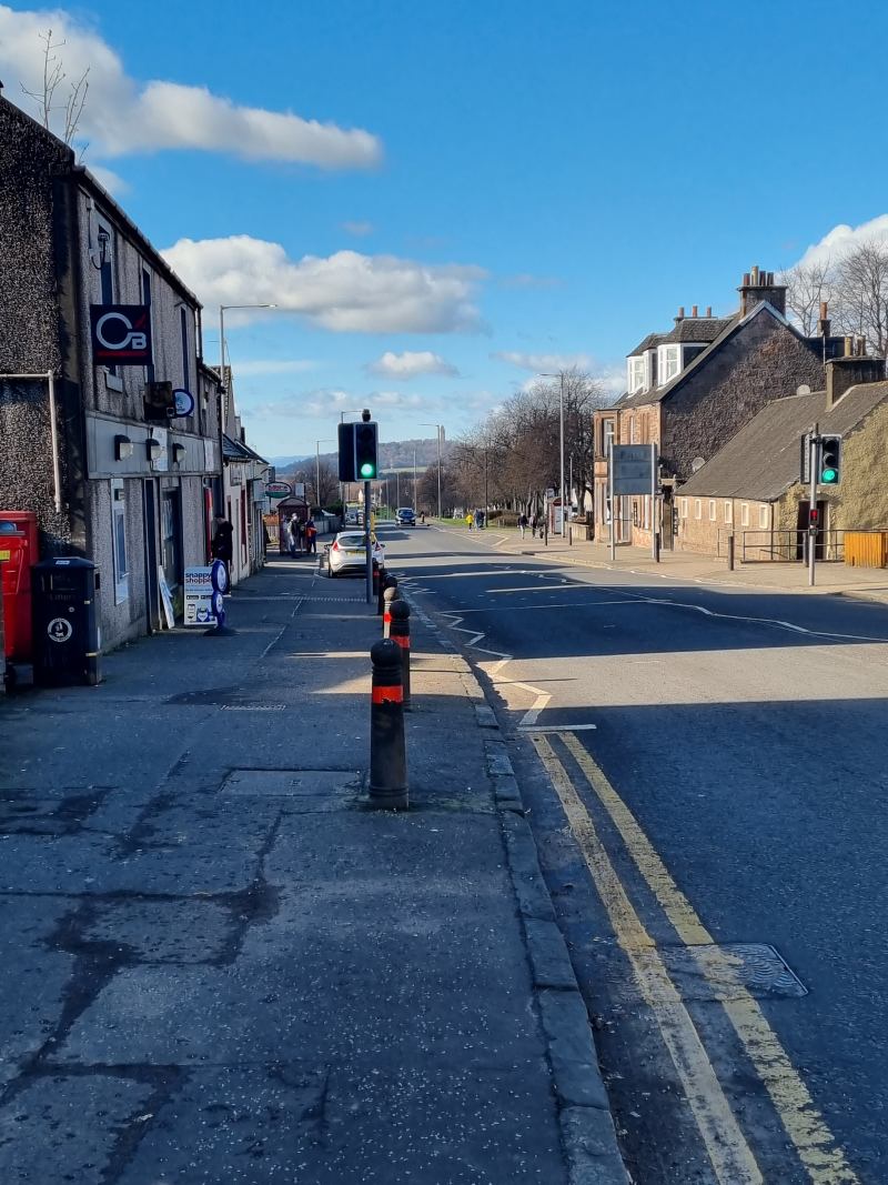 |
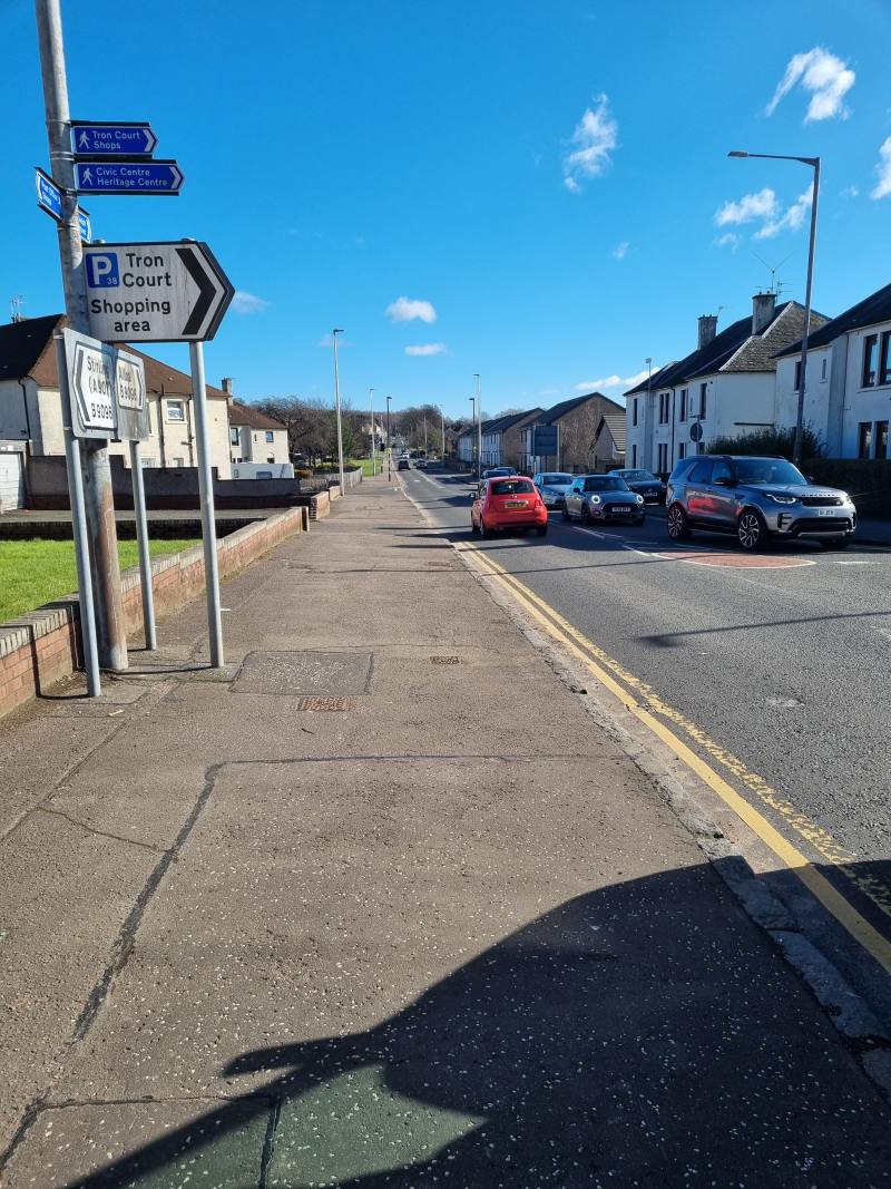
Tullibody looking East and West from the crossroads. The Wallace Monument can just be seen in the distance in the second photo - March 2022
Tullibody is now a former mining village, with many of the residents commuting to Stirling, Alloa and further afield to work. Historically, there was work here with wool, tanning, gluemaking, and farming. The former tannery (later a plastics factory) near the Delph Pond, a former curling pond, was demolished and replaced with new housing in 2017. Since the late 1990s and early 2000s, there has been a rapid expansion in housebuilding in the village, with a large development of new houses built on the north side of the village. However as with the other villages in Clackmannanshire, commercial, industrial and retail facilities have not expanded with the population, as these types of developments have mainly been centred on Alloa.
References:
Statistical Accounts of Scotland (1795)
Angelfire.com/sc3/tullibody
Maps.nls.uk
Clacks.gov.uk